The 2026 edition is canceled
2026 edition cancelled (Cottonwood Fire), per UltraSignup; Aravaipa's own page says the 2027 race is 'postponed' and registration is closed. Cancelled, not 'not offered'.
Three peak summits in Utah's hidden high-altitude range
Other trail races within 159 miles


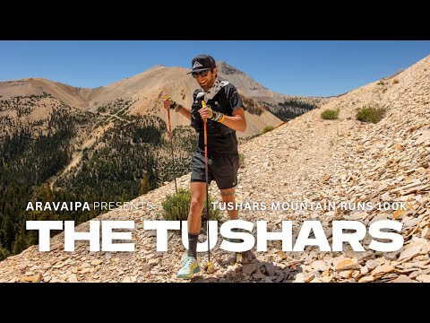
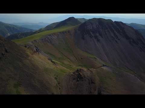
A grueling high-alpine loop through Utah's Tushar Mountains starting and finishing at Eagle Point Resort at 10,500 feet. Runners summit three peaks — City Creek Peak, Copper Belt, and Shelly Baldy — via off-trail climbs and navigate deep wilderness terrain through Fishlake National Forest. The course weaves through remote singletrack, multiple creek crossings, and exposed ridgelines, with all three summits requiring wristband collection as proof of tagging. Expect dramatic weather shifts, night running, and one of the toughest mountain hundreds in the Intermountain West.
Experienced ultrarunners
Beaver, UT, United StatesAugust 01, 2026
Tushars Mountain Runs 100K is a loop trail race in Beaver, UT, United States, held on August 01, 2026. The course covers 63.1 miles, climbs 16,390 ft, and has a 24h cutoff.

| Location | Mile | Elevation | Cutoff | Crew | Pacers | Drop bags |
|---|---|---|---|---|---|---|
Start Start | 0.0 | 10,322 ft | — | Crew | Drop Bags | |
Lake Stream I Aid Station | 3.8 | 10,509 ft | — | |||
Big Flat Aid Station | 10.2 | 10,075 ft | — | Crew | ||
Lake Stream II Aid Station | 20.0 | 10,679 ft | — | |||
Alunite Ridge Aid Station | 24.7 | 10,810 ft | 9h30m2:30 PM | |||
Bullion Pasture I Aid Station | 31.9 | 10,991 ft | 12h5:00 PM | Crew | Pacers | Drop Bags |
Copper Belt I Aid Station | 34.7 | 10,036 ft | — | |||
Copper Belt II Aid Station | 41.3 | 10,112 ft | — | |||
Bullion Pasture II Aid Station | 44.1 | 10,043 ft | 16h40m9:40 PM | Crew | Pacers | Drop Bags |
Mud Lake Aid Station | 50.8 | 11,024 ft | 19h30m12:30 AM +1 | |||
Big John Flat Crew Zone Crew Access | 56.7 | 9,961 ft | — | Crew | Pacers | |
Skyline Aid Station | 58.7 | 10,423 ft | 22h15m3:15 AM +1 | |||
Finish Finish | 63.1 | 10,325 ft | 24h5:00 AM +1 | Crew | Drop Bags |
Aid station details for this race are still being filled in. Cutoffs and access rules come from the race’s own published information and can change — check the official race details before planning around them.
Sign in for race-day weather at every station, points of interest, segment-by-segment analysis, pacing, and to save this race to your calendar.
Camping passes (tent, car, and RV) available for purchase at bib pickup at Eagle Point Resort. No vehicles allowed on the grass. A separate email with details goes to those who purchase a camping pass.
Course starts and finishes at 10,500 ft, spending most of the race between 9,500-11,356 ft. Altitude sickness risk is significant.
Afternoon thunderstorms common on exposed ridgelines and summit peaks. Race has experienced lightning, hail, and storms nearly every year.
Conditions can rapidly shift from hot sunny skies to thunderstorms, hail, fog, and cold in a single afternoon. Temps range from lows in the 40s°F to highs near 90°F.
No required gear specified
No recommended gear specified
No reviews for this event yet. Be the first to share your experience!
