Technical gold rush singletrack through Malakoff Diggins and the South Yuba River canyon
Other trail races within 62 miles
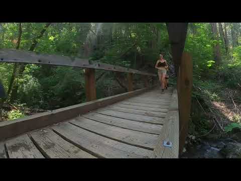
The flagship distance of the Yuba Gold Trail Runs threads through the heart of California gold rush country. Starting from historic North Bloomfield, the course descends the technical Humbug Trail past ventilation shafts from the Malakoff Diggins hydraulic mining era, follows Humbug Creek to the South Fork Yuba River, then winds along the forested singletrack of South Yuba Trail before grinding up Missouri Bar Trail and a series of Tahoe National Forest fire roads back to the finish. With 6,000 feet of gain and technical terrain throughout, it lives up to its motto: not your mama's trail race.
Some ultra experience recommended
North Bloomfield, CA, United StatesOctober 05, 2025

| Location | Mile | Elevation |
|---|---|---|
Missouri Bar Aid Aid Station | 8.3 | 3,471 ft |
Relief Aid Aid Station | 15.4 | 3,937 ft |
Poorman Creek Aid Aid Station | 19.7 | 2,625 ft |
Sign in to see cutoffs, crew access, drop bags, and services for every aid station.
Chute Hill Campground at Malakoff Diggins State Historic Park is a short drive from the start/finish — first come, first served, running water, no showers. Rentable cabins are also available within the historic North Bloomfield townsite on a first-come, first-served basis.
October in the Sierra Nevada foothills can bring warm afternoon temperatures, particularly in the South Yuba River canyon below 2,000 ft.
Early fall weather in the Northern Sierra can shift quickly; afternoon thunderstorms are possible in the higher Tahoe National Forest sections.
No required gear specified
No recommended gear specified
No reviews for this event yet. Be the first to share your experience!


